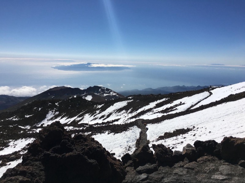
photo by Katia De Juan
Nestled in the heart of the Canary Islands, Tenerife stands as a testament to nature’s boundless artistry. This enchanting island, often referred to as the “Island of Eternal Spring,” offers a captivating tapestry of landscapes, from dramatic volcanic peaks to verdant forests and pristine coastlines. But perhaps the best way to immerse yourself in Tenerife’s natural wonders is through its extensive network of hiking trails.
So, lace up your hiking boots, grab your backpack, and prepare to discover Tenerife’s top 10 hiking trails.
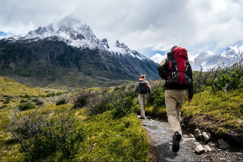
photo by Toomas Tartes
Why is Tenerife the best hiking destination in Europe?
Most tourists find the Canary Islands a year-round paradise for hiking and trekking. There are plenty of epic trails on the islands, all of which are marked.
You can walk through the evergreen laurel forests of Anaga amidst clouds and Atlantic dew. Or climb the highest point in Spain, the Teide volcano.
In summer, walk among the tachinaste endemics at the foot of the Teide volcano. In winter, immerse yourself in the atmosphere of hippy Europe and visit a free colony.
Or you can search for pirate treasure in the Masca Gorge or homemade cheese in the Teno Mountains.
In short, with this article, you will not just relax in Tenerife but see dozens of unprecedented beauties: extinct volcanoes, lighthouses at the ends of the earth, 1000-meter-high cliffs, dragon trees, vineyards, ancient aqueducts, Guanche caves, blooming almonds, and incredible clouds.
So, let`s discuss the top 10 hiking trails of Tenerife Island.
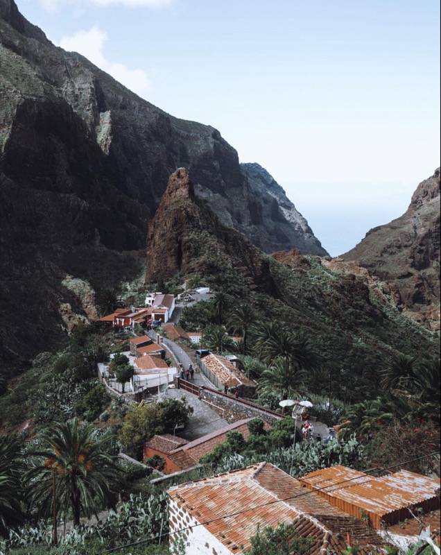
photo by Dave Ruck
Barranco de Masca (Masca Gorge Trail)
Barranco de Masca is the most popular hiking route on the island of Tenerife. I recommend choosing a different hike if you do not like crowds. The Ministry of Tourism heavily promotes the trail, so there are many people, and the trail’s condition is far from ideal.
Masca Gorge closed for renovation in February 2018. It was reopened in 2021.
The descent through the gorge starts at the charming village of Masca. It is easily accessible by cab from Acantilados de Los Gigantes. The trail loops between cliffs 400 meters high. One of them is shaped like an elephant=).
At the trail’s end, you can freshen up at Masca Beach and take a boat to Acantilados de Los Gigantes. Don’t forget to buy your tickets in advance. On the way back, there is a chance to see dolphins and pilot whales. You can walk the Mask route on your own. A guide is not necessary. Take care of good shoes.
Take a walk among the blossoming almonds
If you’re not ready for the exploits of the Masca Gorge, there’s a simple and wonderful route among the blossoming almond trees and fresh lava nearby.
The famous almond trail begins in Santiago del Teide, where the turnoff to the Teno Mountains and Masca Canyon is. If you’re in Tenerife in winter or spring, it’s a must-see!
Barranco del Infierno
Barranco del Infierno is a classic ravine on the Canary Island, a stone’s throw from the tourist beaches in Adeje. It is one of the most popular routes in Tenerife, along with the Masca Gorge Trail. But that’s not because it’s beautiful. It’s because of marketing. They even charge money to go along the route.
It’s amazing that tourists visit Hell’s Gorge; however, Tenerife is full of much more impressive and free hiking trails.
The Barranco del Infierno trail was closed for a long time, but now it has been restored and reinforced. Today, any tourist can walk through the Hell’s Gorge. However, there is a restriction – no more than 300 people per day. And you need to buy an entrance ticket: 8 euros for tourists and 4.50 for Canarians.
The entrance is open from 8 am until 2 pm. The trail closes completely at 7 pm. The walking trail starts from Los Molinos Street and will lead you to the waterfall. During the winter months, it is full-flowing, and during the summer months, it is a small trickle.
Barranco del Infierno is an alternative to beach tourism in the south of Tenerife near Adeje and Las Americas. You can walk the Hell’s Gorge route on your own. No guide is needed. Take care and wear good footwear.
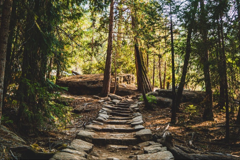
photo by Jeffrey Keenan
Benijo to Faro de Anaga Circuit Trail
It is a beautiful and easy route, especially for those who do not have good physical fitness but want to go to the mountains, craving authenticity and magic. This route is great for beginners and connoisseurs of beauty.
You will visit the most interesting areas of the Anaga mountain range. You will enjoy the views of the 4 ancient villages of Taganana and Afur. You will see the architecture, gardens, ocean, and mountains. You will breathe the Atlantic air and dream of staying here for a long time. You’ll look at the huge dragon trees, the churches, the clouds rushing over you, and the high mountains. And of course, you can go down to the ocean and then to the beach and restaurants.
The elevation difference isn’t significant. The guide can adjust the route to your strength. You can take a large number of beautiful photos. I recommend going with a guide to see all the beauty and find easy paths.
Hiking to Sombrero De Chasna
It is the best view of Teide, looking at the national park from the parterre. It is an easy route to climb the Sombrero de Chasna mountain, which is 2435 meters high.
You start in a pine forest near Vilaflor. With a long ascent, the trail passes through centuries-old pine trees, and at the top of the route, you are greeted by a beautiful view of the entire caldera and the Teide volcano. The main attraction is the spectacular natural observation deck. Here is the best view of Teide and the national park. And then you go for a simple climb to the Sombrero de Chasna mountain and return.
By the way, from here, it is great to watch the amazing beauty of sunsets when the sun sets behind the Teide. The length is 7 km. The altitude difference is 500 meters. This hiking trail in Tenerife is good in spring and summer when grasses bloom and Echium wildpretii appear.
Hiking Teide route
Hiking the highest peak in Spain is amazing. If you want to accomplish a feat in Tenerife, hiking Teide is a good choice. It is a test of your strength combined with a beauty that cannot be seen elsewhere.
The summit is at an altitude of 3,718 meters. There is a well-marked trail to the highest point in Spain, but the air at the top is rarefied. Therefore, it is difficult to walk. You must remember about the water, scorching sun, wind, and possible snow.
A permit is required to climb Mt. Teide on your own. The return trip can be made easier by cable car or through the Pico Viejo volcano.
The length of the route with the ascent of Teide is 14/22 km. The altitude difference is 1600 meters. You can make a fairy tale of climbing Teide by meeting the sunrise on the peak of Teide and watching the stars at night.
And remember, to say “I’ve been to the highest point in Spain” is priceless!
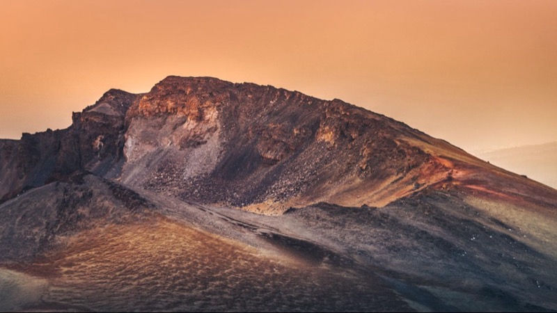
photo by Marek Piwnicki
Climbing to Pico Viejo
This Tenerife trail implies ascent to 3,135 meters (10,285 feet), the second peak of Tenerife – Pico Viejo. You will climb to the top and see unique national park views and the Teide volcano.
The hike to the old crater of the Pico Viejo stratovolcano starts from the Mirador de la Iglesia de Chio. The trail leads to the summit of 3135 meters above sea level.
The route is challenging. The height difference is 1000 meters. The air at the top is rarefied, so walking is difficult. You need to take a lot of water with you. It is cold at this altitude in winter, even if the sun shines brightly.
At the Pico Viejo summit, you will be rewarded with a crater 800 meters in diameter, with the last eruption in 1798. You can descend along the same route to the car or walk out to the Rocks of Garcia. The length is 15 kilometers.
You can enter Pico Viejo from the other side after climbing Teide. Also, you can use the cable car, but this is no longer conquering the summit. I recommend going only with a guide.
PR-TF 41 Playa de El Socorro – Pico del Teide
PR-TF 41 is a challenging route from the ocean to the highest point in Spain. You will gain altitude along the entire route of 27 kilometers. Finally, you will climb to the Teide volcano, the highest point in Spain (3718 meters above sea level).
During the ascent to Teide, you will encounter the variety of landscapes of Tenerife: laurel and pine forests, views of the Orotava Valley (Valle de la Orotava), Teide from different angles, sunset or sunrise from the top of the volcano. To see the sunrise on Teide, stay overnight in the rifugio near the summit and make an early morning ascent to the peak.
The route should be divided into 2 stages, making a stop in Refugio De Altavista. But even with an overnight stay, this hike is more suitable for marathoners, triathletes, and athletes. Lovers of relaxed hikes should not choose this trail.
Las Ventanas de Güimar
On the Las Ventanas de Güimar trail, you can look through the windows of emptiness and walk through old aqueducts. This unusual hiking route with Windows Guimar runs along the slopes of Barranco de Badajoz. The main attraction is the dizzying views of the gorge and the northern coast.
The route follows old water channels – aqueducts. These aqueducts were used to supply water to all the surrounding villages. The trail passes through tunnels along the edge of the gorge. Windows Guimar allows you to look over the cliff into the void. A helmet and flashlight are required for the Windows Guimar hike.
The length is 6 km. The altitude difference is 300 meters. Only those who are not afraid of closed spaces choose this trail in Tenerife.
PR-TF 43 Montaña Chinyero
PR-TF 43 is a simple route around Tenerife’s youngest volcano. The route around the Chinyero volcano is an easy walk in a mystical atmosphere of frozen lava, pine trees, and clouds.
The Chinyero volcano is 1560 meters high and has a protected reserve around it. This is where the route passes through. Here, hiking along the frozen lava is more interesting than on Teide. The length of the route is 6 kilometers. The altitude difference is 200 meters.
You can walk the Chinyero route on your own. A guide is not required.
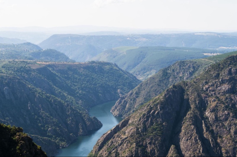
photo by Javier Balseiro
Barranco del Rio
The south of Tenerife is known for its arid climate, but many gorges are rich in lush vegetation. Barranco del Rio is a good example. A stream of water flows through the gorge, the depth and force of the water depends on the time of year.
The Barranco del Rio route passes through the Arico area. The slopes are full of huge Pinus canariensis that overhang hikers’ heads. The trail constantly crosses a stream, so you have to step on slippery, wet rocks. It would help if you had good trekking shoes.
Going with a guide in summertime is recommended when it is not raining.
Conclusion
Tenerife’s captivating landscapes offer many hiking trails that cater to every adventurer’s appetite. From the rugged beauty of Teide National Park to the lush laurel forests of Anaga Rural Park, this Canary Island is a hiker’s paradise. Whether you’re a seasoned trekker seeking a challenging ascent or a leisurely stroller looking to immerse yourself in the island’s natural wonders, Tenerife has it all.
So, pack your hiking boots, bring your sense of adventure, and embark on a journey through Tenerife’s remarkable landscapes. Tenerife is not just a destination; it’s an invitation to explore, experience, and embrace the splendor of the Canary Islands.

 Discovering South America on Tenerife
 Travel to Spain’s Canary Islands – Episode 294
 Travel to Tenerife – Episode 792
 Tenerife Workation: Why Tenerife is the Perfect Place to Experience a Workation
